Bianca Russell · 5 October 2026
Highland Light Records Shape Fresh Tactics for Shielding Nighttime Insects in Countryside Expansion
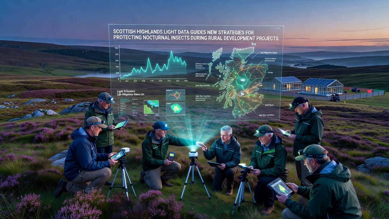
Scottish Highlands light data has begun guiding new strategies for protecting nocturnal insects during rural development projects, and researchers have compiled detailed maps that link artificial illumination patterns to shifts in moth and beetle populations across several counties. Data collected from fixed sensors and mobile surveys now feeds directly into planning applications so that developers can adjust lighting layouts before construction begins. Those who have reviewed the records note that areas with lower skyglow retain higher insect diversity even when housing or farm buildings appear nearby, while zones with intense white LEDs show measurable drops in species counts within two seasons.
Tracking Light Patterns Across Remote Terrain
Teams deployed battery-powered meters along river valleys and hill slopes starting in late 2025, and the instruments logged both intensity and color temperature at hourly intervals through the following year. By October 2026 the accumulated files revealed consistent hotspots near proposed road upgrades and new agricultural sheds, prompting planners to test shielded fixtures and lower mounting heights in those exact locations. Observers note that the same datasets also flagged stretches of open moorland where moonlight still dominates, allowing project teams to route service roads away from those darker corridors without extra cost.
Local councils have started requiring light-impact statements that reference these Highland datasets, and several applications submitted after the October 2026 update incorporated dimming schedules tied to insect flight periods. The approach differs from earlier blanket curfews because it uses site-specific readings rather than generic rules, and early results show insect activity rebounds when the adjusted schedules match actual flight times recorded by the sensors.
Linking Illumination to Insect Behavior
Entomologists paired the light readings with trap counts at paired sites, one lit and one unlit, and the numbers indicate that certain noctuid moths avoid white light above 3000 K while remaining active under warmer tones or filtered amber sources. Those patterns appear in the raw counts rather than modeled predictions, and the difference holds across multiple weather conditions captured in the logs. Development teams now receive color-temperature recommendations drawn straight from these paired observations instead of relying on general literature.
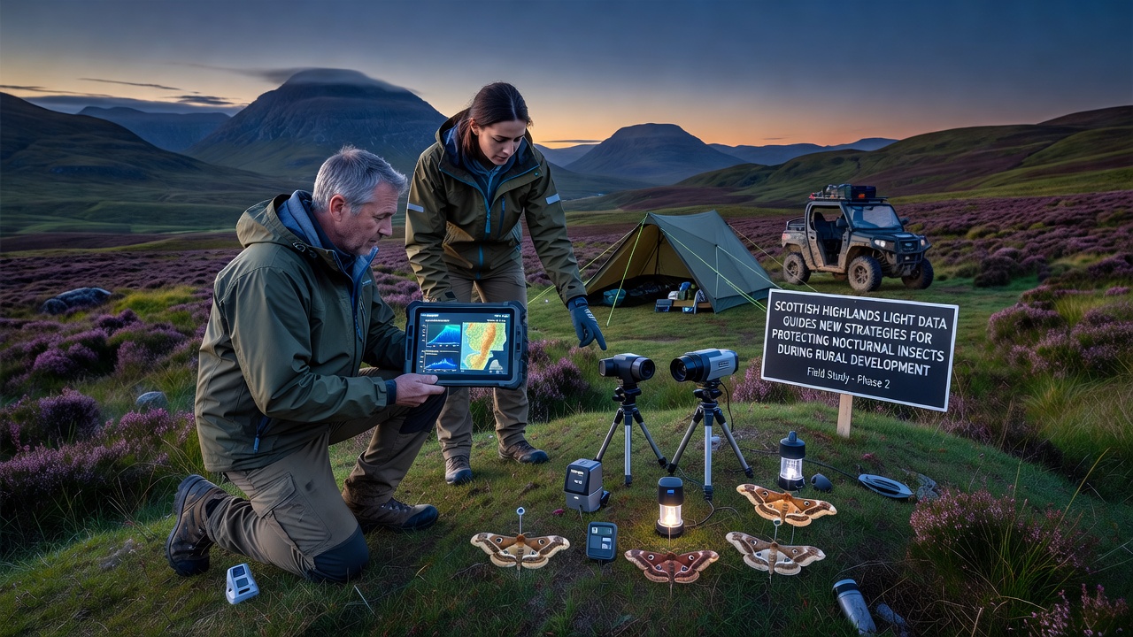
Further analysis of the October 2026 dataset showed that even brief spikes from vehicle headlights along new access tracks can suppress feeding activity for several hours afterward, and mitigation now includes timing gates or baffles at those entry points. Researchers cross-checked the findings against records from similar terrain in northern Sweden, where comparable sensor networks produced matching avoidance thresholds, and the alignment strengthened confidence in applying the Highland figures to other rural projects.
Integrating Data Into Planning Workflows
Planning officers now upload the light maps into geographic information systems alongside habitat layers, and the combined view highlights zones where development can proceed with minimal lighting changes because natural topography already blocks stray light. In cases where overlap occurs, the software flags required fixture types and mounting angles drawn from the sensor logs, and applicants submit revised drawings that meet those parameters. This workflow has shortened review times because the data replaces lengthy on-site debates with measurable thresholds.
Contractors working on farm diversification schemes have adopted portable meters during construction phases so they can verify that installed lighting stays within the modeled limits, and any deviation triggers immediate adjustment before the project reaches completion. The practice emerged after one Highland estate reported that post-installation readings exceeded the pre-construction forecast by 18 percent, leading to quick replacement of several units and a revised checklist for future builds.
Expanding the Dataset for Broader Use
Additional sensors are scheduled for deployment along the western glens in 2027, and the expanded network will capture seasonal variations that the first round of readings could only estimate. European environmental agencies have expressed interest in the open data format, and preliminary discussions focus on aligning the Highland protocols with monitoring standards already in use in parts of Canada and New Zealand. The goal remains consistent: give rural planners concrete numbers rather than broad guidelines so that insect populations retain the dark corridors they require for foraging and breeding.
Conclusion
Highland light records continue to feed directly into development decisions, and the resulting adjustments demonstrate that measurable reductions in skyglow can occur alongside continued rural growth. As more counties adopt the same sensor-driven approach, the accumulated files are expected to refine fixture standards and timing rules across similar landscapes. The process stays grounded in the data collected on the ground rather than assumptions, and ongoing collection through 2027 will test whether the October 2026 patterns hold under different weather cycles and development densities.