Bianca Russell · 7 September 2026
Satellite Insights into Highland Nights: Researchers Track Light Pollution's Effects on Insects and Plants
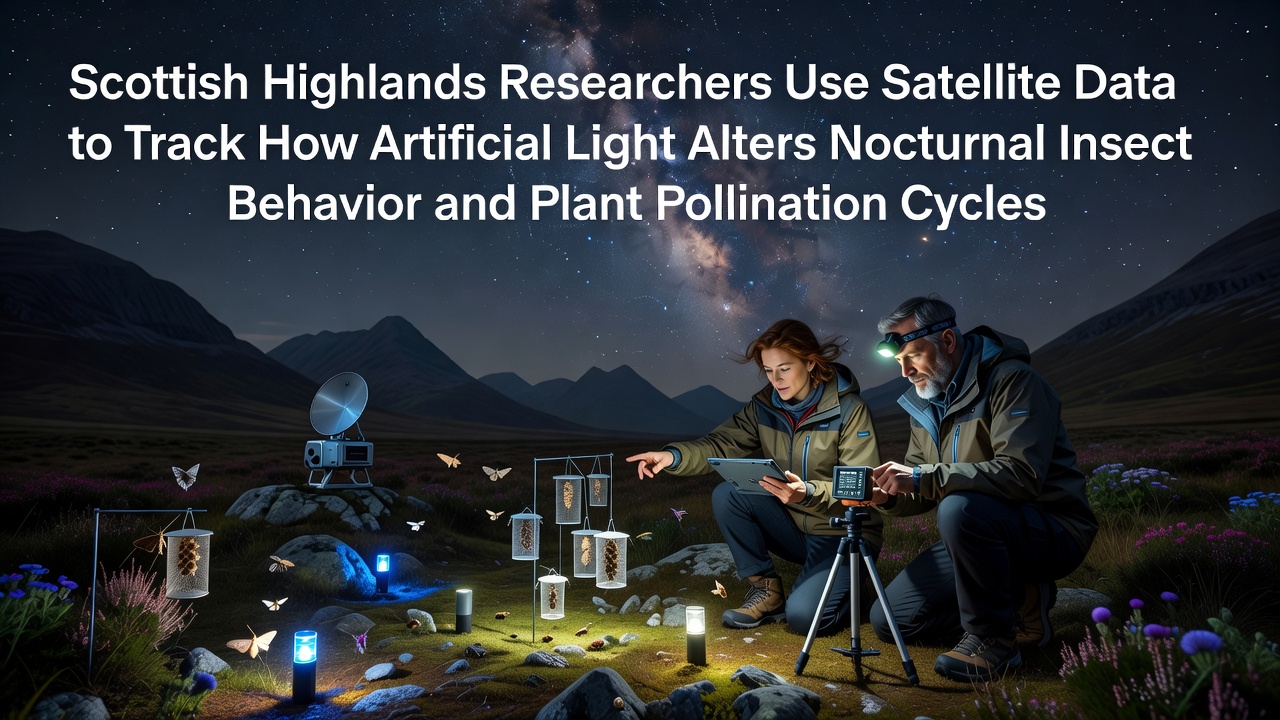
Researchers based in the Scottish Highlands have turned to satellite imagery to examine how artificial light at night influences the behavior of nocturnal insects and the pollination cycles of local plant species, and data collection began several years ago with ongoing analysis that continues through 2026. The project draws on high-resolution orbital sensors to map light intensity across remote glens and moorlands where traditional ground monitoring proves difficult due to terrain and weather patterns. Observers note that this approach allows teams to correlate light exposure levels with insect activity records gathered from field sensors placed in selected valleys.
Background on Light Pollution in Remote Regions
Artificial illumination from roads, settlements, and agricultural facilities extends far beyond urban boundaries, and satellite records show measurable glow reaching into protected areas of the Highlands. Studies conducted by various European research institutions have documented similar patterns across northern latitudes where long summer twilight periods already shape insect life cycles. In September 2026 the Highland group published updated maps that integrate multi-year satellite passes with ground-trap counts of moths and other night-flying species. These maps reveal gradual increases in average nighttime brightness near certain glens that coincide with changes in insect emergence times.
Researchers cross-reference the orbital data against historical records from the same sites to isolate artificial sources from natural moonlight and starlight variations. The method relies on calibrated sensors aboard satellites operated by international space agencies, and findings indicate that even modest increases in light can shift the timing of nocturnal foraging flights for several moth families common to the region.
Methods Combining Orbital and Terrestrial Data
The team deploys automated camera traps and light meters at fixed locations while satellite passes capture broader landscape patterns every few nights. Software then aligns the two datasets so that local readings calibrate the wider orbital images, and this fusion produces continuous coverage that single-method approaches cannot achieve. Experts from collaborating universities in Scandinavia have contributed algorithms that filter cloud cover and atmospheric interference common in the Highlands, while data from the project feeds into larger European biodiversity databases.
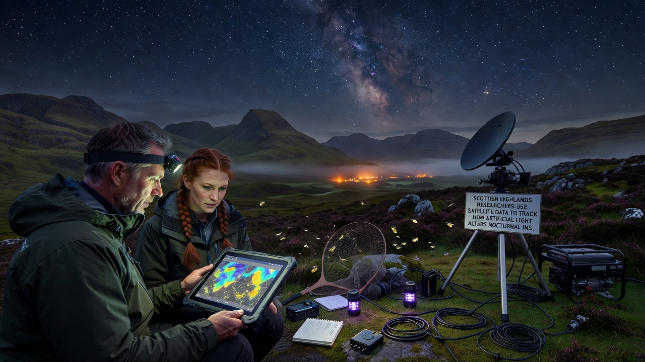
Because many Highland plants rely on specific nocturnal pollinators whose flight periods align with flower opening times, shifts in insect activity can alter pollen transfer rates. The satellite analysis identifies zones where light gradients cross known plant communities, and preliminary counts suggest reduced visitation by certain moth species in brighter corridors. Teams continue to expand the sensor network to capture additional variables such as temperature and humidity that interact with light levels.
Observed Changes in Insect Behavior and Pollination
Field data paired with satellite maps show that some moth populations delay peak activity until later hours when artificial lights dim or when they move into darker pockets of terrain. Other species appear to concentrate in remaining dark refuges, which concentrates pollination pressure on plants located there. Records from multiple seasons indicate that certain orchid and heather varieties experience altered seed set rates in areas with higher measured light exposure. Researchers continue to test whether these patterns hold across different weather years and across elevations that range from coastal fringes to higher plateaus.
Additional monitoring stations installed in 2025 now provide finer temporal resolution, and early comparisons with earlier seasons suggest the changes are not uniform across all insect groups. Some beetles and flies show less sensitivity while others display clear avoidance of lit zones. The combined dataset grows steadily, and analysis proceeds in stages that allow incremental updates rather than single large reports.
Broader Context and Ongoing Monitoring
Similar satellite-assisted studies have been reported from other northern ecosystems, including work coordinated through Canadian research networks that track caribou habitat overlap with industrial lighting. The Highland project maintains open data protocols that permit comparison with those efforts, and participating scientists attend joint workshops hosted by research institutes in Australia and the United States to refine shared analysis tools. Continued satellite coverage through upcoming missions will extend the time series, and teams plan to incorporate newer sensor generations that improve spectral resolution for distinguishing lighting types.
Conclusion
The integration of satellite and ground observations provides a scalable framework for tracking how artificial light interacts with nocturnal ecosystems in the Scottish Highlands. As datasets lengthen and methods improve, the approach yields increasingly precise maps of affected zones and supports targeted decisions about lighting design in sensitive areas. The work remains active, with new passes and field measurements scheduled through the remainder of the decade.